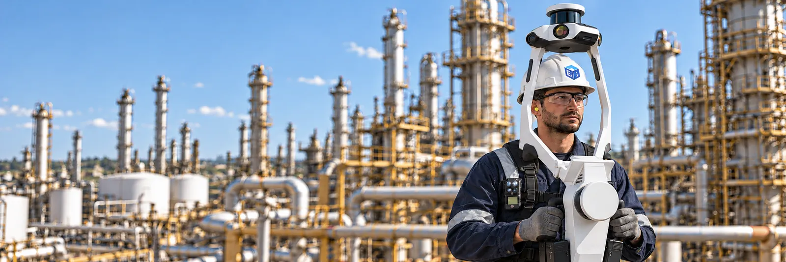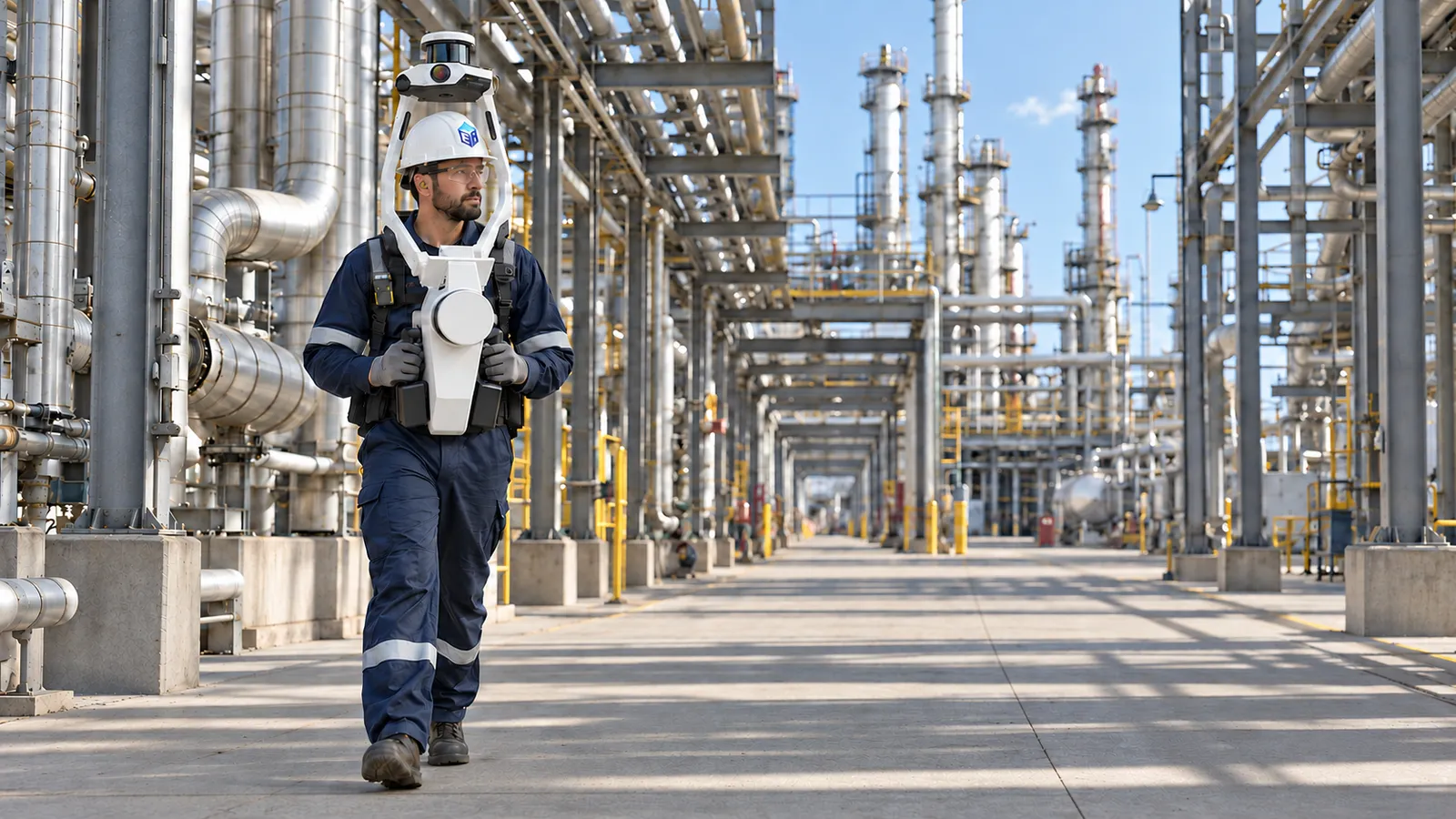
Mobile + drone
Navigation and Planning
Capture large areas fast with mobile and drone scanning for planning, digitization, and AI.
- Turnaround planning
- Asset inventory
- Scaffold planning
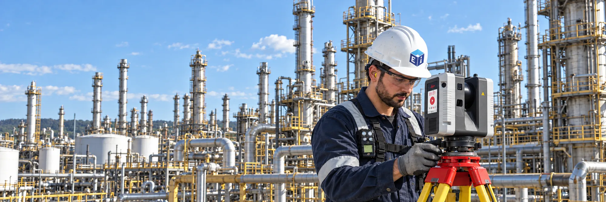
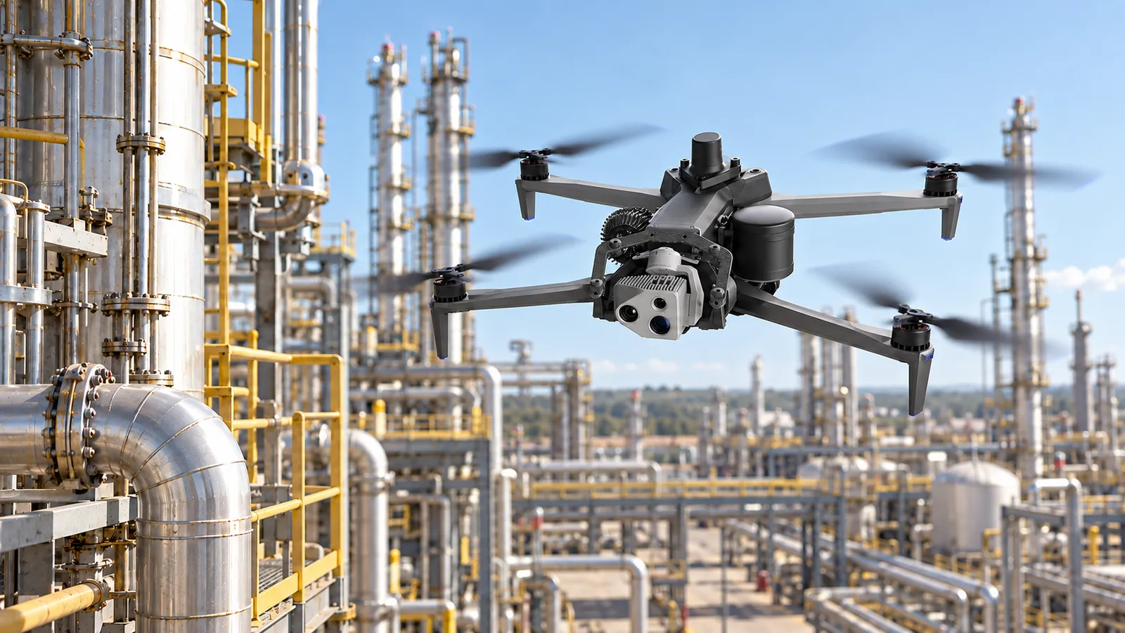
Reality capture
Static, mobile, drone and photogrammetry capture inside operating plants, planned around what the data has to do.
Why Ei
Technology-led capture planned around your project. Static, mobile, drone and photogrammetry combined to reach every area at the right tolerance, run by crews who know their way around an operating unit.
Whether you need static scanning, mobile scanning, drone scanning, or high quality photogrammetry, we understand your needs and will work with you to select the correct - or hybrid - scanning approach.
Visualize and use your data in all of your existing tools, or use Ei's Ei Everywhere platform to share the data with everyone at the plant.
Applications
Fit-for-purpose scanning, planned around what you need.
Mobile + drone
Capture large areas fast with mobile and drone scanning for planning, digitization, and AI.
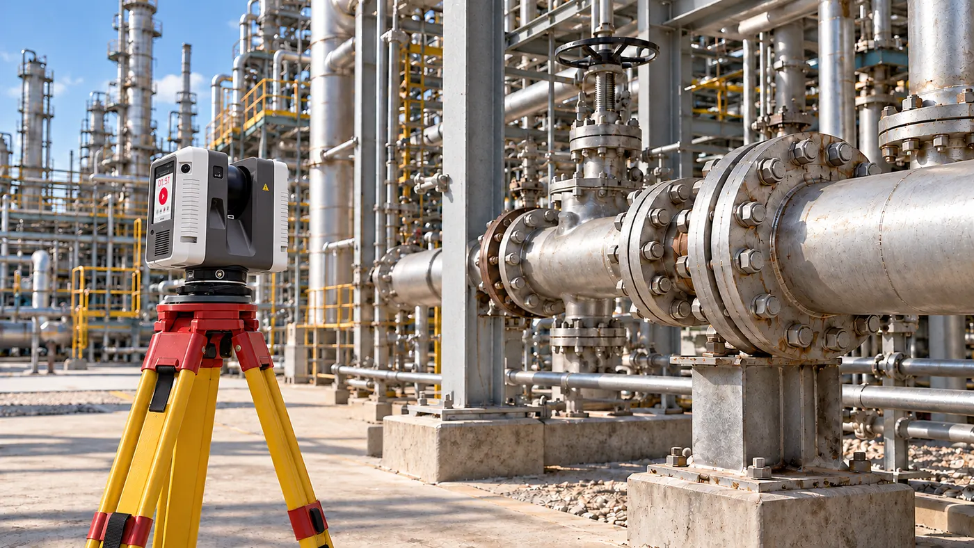
Static
Static scanning to dimensional and fabrication tolerance, tied to your plant's coordinate system.
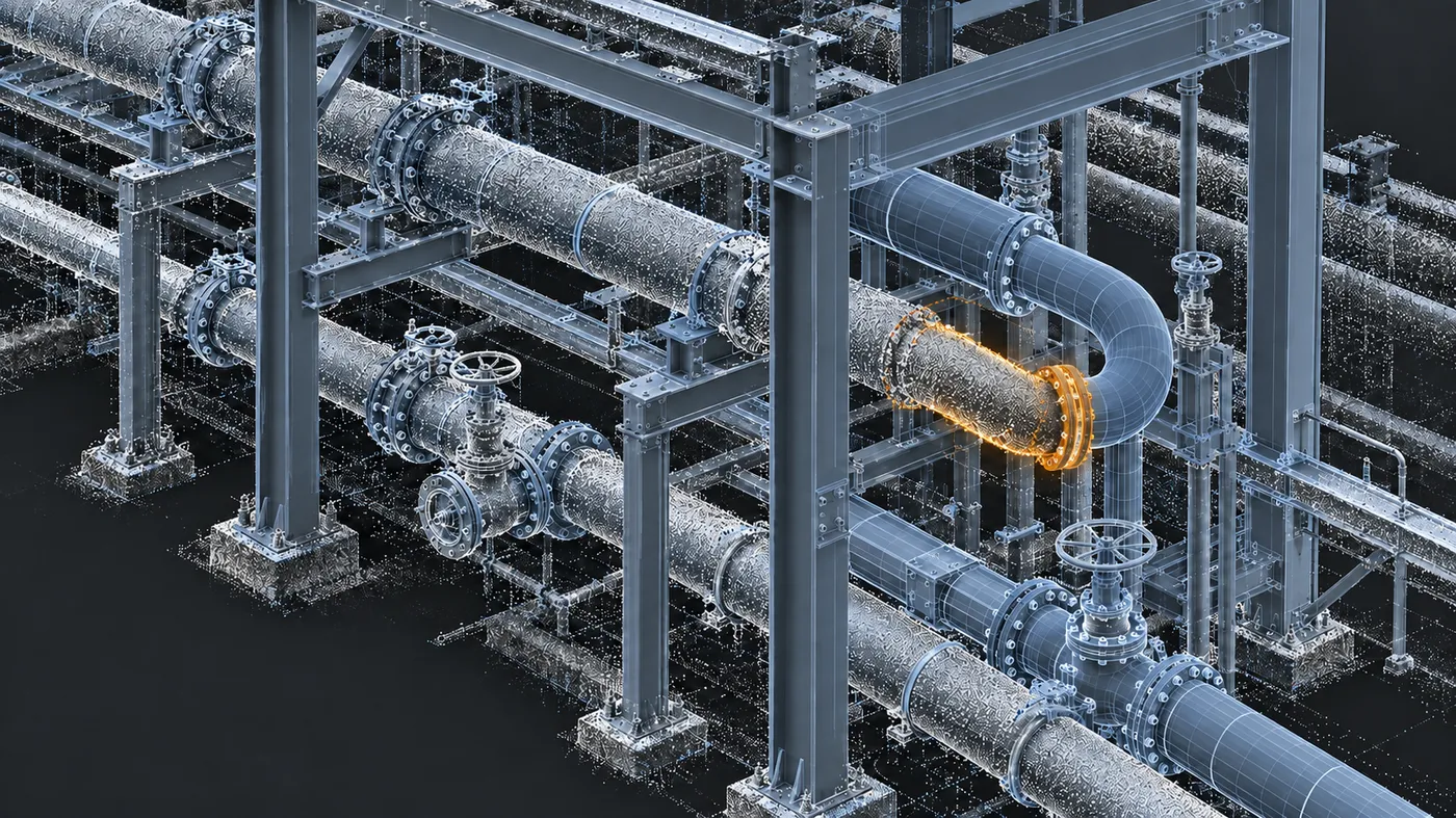
As-built
Capture as-built conditions to get your P&IDs, isometrics, and 3D models up to date with field conditions.
How we work
Rescans come from skipped control, skipped platforms and skipped conversations. We don't skip any of them.
Scope, control and deliverable format agreed upfront, with one project manager accountable throughout.
Our surveyors tie every scan to your plant coordinates, so it lines up with your drawings and future scans.
Our crews climb the platforms and columns others skip, so elevated equipment is in the data.
Every area is checked before the crew leaves, and any gaps are logged and handed over with the data.
Deliverables
Registered point clouds, panoramas, survey control, plot plans and the QA/QC reports behind them, delivered in whatever your tools read.
Ei Everywhere
Whatever system, whatever format. Work in the tools your team already uses, or collaborate in Ei Everywhere with no new software to install.
Beyond the scan
A registered scan of your unit is the field foundation for work that used to need another site visit. Ei can take the same dataset further:
Major equipment located and tagged in the scan, so every asset has a place.
Field conditions checked against the drawings, discrepancies marked where they live.
P&ID RevalidationGenerated from the registered scan. No second walkdown.
Segmented, indexed data that feeds equipment identification, planning tools, and whatever comes next.
Safety and plant readiness
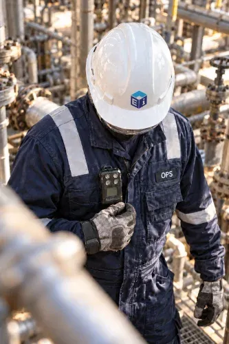
Ei crews have worked in operating refineries and chemical plants for eight years without an OSHA-recordable incident. Every mobilization gets a site-specific HSE plan, reviewed with your safety leadership before anyone reaches the gate, and a documented hazard assessment every shift.
Track record
We've been scanning operating plants for nearly two decades. Our crews know the units, the permits and the safety culture, and they know how to get the job done.
690M
Square feet captured
3.2M
360 photos captured
8.1M
Assets and tags extracted
Reality capture can provide the field foundation for a revalidation project.
Learn about P&ID RevalidationReview and share scans in the browser, and run digital line walks and punchlists in the field.
Explore Digital Walk the LineTurn legacy P&IDs and CAD drawings into intelligent, data-driven files that line up with your scanned unit.
Learn about P&ID ConversionGet started
Turnaround planning, capital projects, P&ID revalidation, scaffold planning, inspection isometrics, tie-point design or asset inventory—tell us what the data needs to accomplish.